Eligibility: An applicant seeking admission to BS Remote Sensing and GIS (under all admission categories) must fulfill the following eligibility requirements.
• He or she has passed the Higher Secondary School Certificate (HSC/HSSC) Pre-Engineering examination with Physics, Chemistry, and Mathematics from a Board of Intermediate and Secondary Education of Pakistan or an equivalent examination recognized by the University, securing at least 45% marks excluding 20 marks for Hafiz-e-Quran. OR
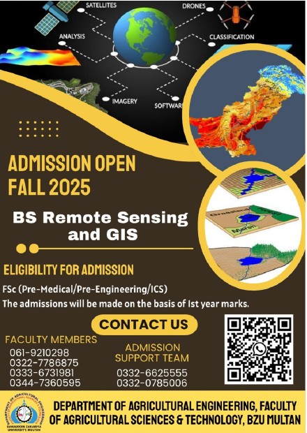
• He or she has passed the Higher Secondary School Certificate (HSC/HSSC) Pre-Medical examination with Physics, Chemistry, and Biology from a Board of Intermediate and Secondary Education of Pakistan, or an equivalent examination recognized by the University, securing at least 45% marks excluding 20 marks for Hafiz-e-Quran with Mathematics as a remedial subject/course in the 1st semester after admission. OR
• He or she has passed the Higher Secondary School Certificate (HSC/HSSC) Computer Studies/Computer Science (ICS) with Physics, Mathematics and Computer Studies/Computer Science from a Board of Intermediate and Secondary Education of Pakistan, or an equivalent examination recognized by the University, securing at least 60% marks excluding of 20 marks for Hafiz–Quran Provisional admission to BS Remote Sensing and GIS will be granted on the F.Sc. Part I result. Admission will be confirmed on securing 45% marks in the F.Sc. result.